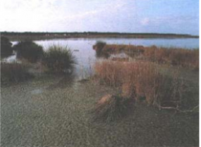
S'Ena Arrubia

S’Ena Arrubia Lagoon , located along the centre-western coast of Sardinia (39.83 °N and 8.57 °E), is included between plain of Arborea and coastal dune line. It is 1.2 Km2 wide, its mean depth is 40 cm and it is the residue of wider Sassu Pond, reclaimed in 1937. Freshwater input is supplied from the watershed by two affluent rivers: Rio Sant’Anna (also called Diversivo), which drains an area of 78.4 km2 and showed no runoff from April 2001 to March 2002; and the Canale delle acque basse, which drains 50 km2 mostly originated from the drying up of a pond over 3000 ha wide and actually extensively dedicated to farming and zootechnia. This channel is under the sea level and water is pumped into the lagoon. The lagoon communicates with the sea through a channel about 40 m large, 230 m long and 1 m deep. The lagoon is very eutrophic (Sechi, 1982; Fiocca et al., 1997) and dystrophic crises and fish kills occasionally occur. Anoxia and dystrophic crises were already observed during the Sixties.
